
Esteem Surveyors & Associates Ltd
Transforming your land vision into legally protected reality — with cutting-edge technology and unwavering precision.
More Than Surveyors
At Esteem Surveyors & Associates Ltd, we are dedicated to transforming your vision into reality with the precision and accuracy that modern surveying technology provides.
Nestled in the heart of Kitengela, we take pride in our commitment to excellence — investing in cutting-edge surveying machines and equipment to ensure you receive the highest quality services possible.
Our team of highly skilled and experienced professionals is passionate about helping you achieve your goals, whether it's securing property rights, optimizing land use, or contributing to sustainable urban development.
Our Vision
To serve our community and clients with the utmost dedication, integrity, honesty, and transparency.
Our Mission
To provide unparalleled land surveying services enabling clients to navigate the path to secure property rights with confidence.
Core Values
- Experience
- Cutting-edge technology
- Integrity
Our Services
A complete range of professional land surveying solutions tailored to your unique requirements.

Titling
We specialize in securing titles to your land, ensuring that your ownership is legally recognized and protected.
Land Sub-Division
Whether for development or inheritance purposes, we have the expertise to guide you through the entire sub-division process.
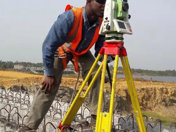
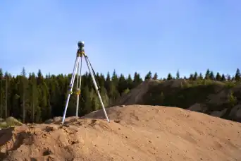
Cadastral Survey
Our cadastral surveys provide detailed records of land boundaries, helping you understand the true extent of your property.
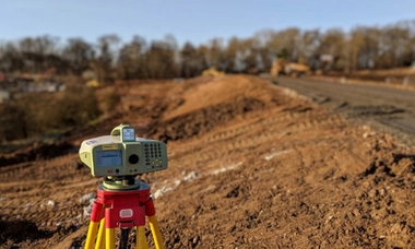
Topographical Survey
For projects requiring a comprehensive understanding of the land's contours and features, our topographical surveys are key.

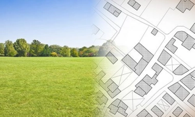
Urban Planning
We offer urban planning services to help shape the cities and communities of the future, creating functional and harmonious spaces for all.

Geographic Information Systems (GIS)
Our GIS services ensure access to vital geographical data, enabling informed decision-making for your projects.
Frequently Asked Questions
Contact Us
Visit Our Office or Reach Out
Namanga Road, Kitengela
Sat: 9:00am – 1:00pm